CISO module
The CISO module is a tool that allows you to interpolate a point cloud using the kriging method (automatic simple kriging). This feature is particularly useful when you want to determine the stratigraphic variation of a layer (thickness, top level, base level) or the mechanical variation of a soil mechanical parameter.
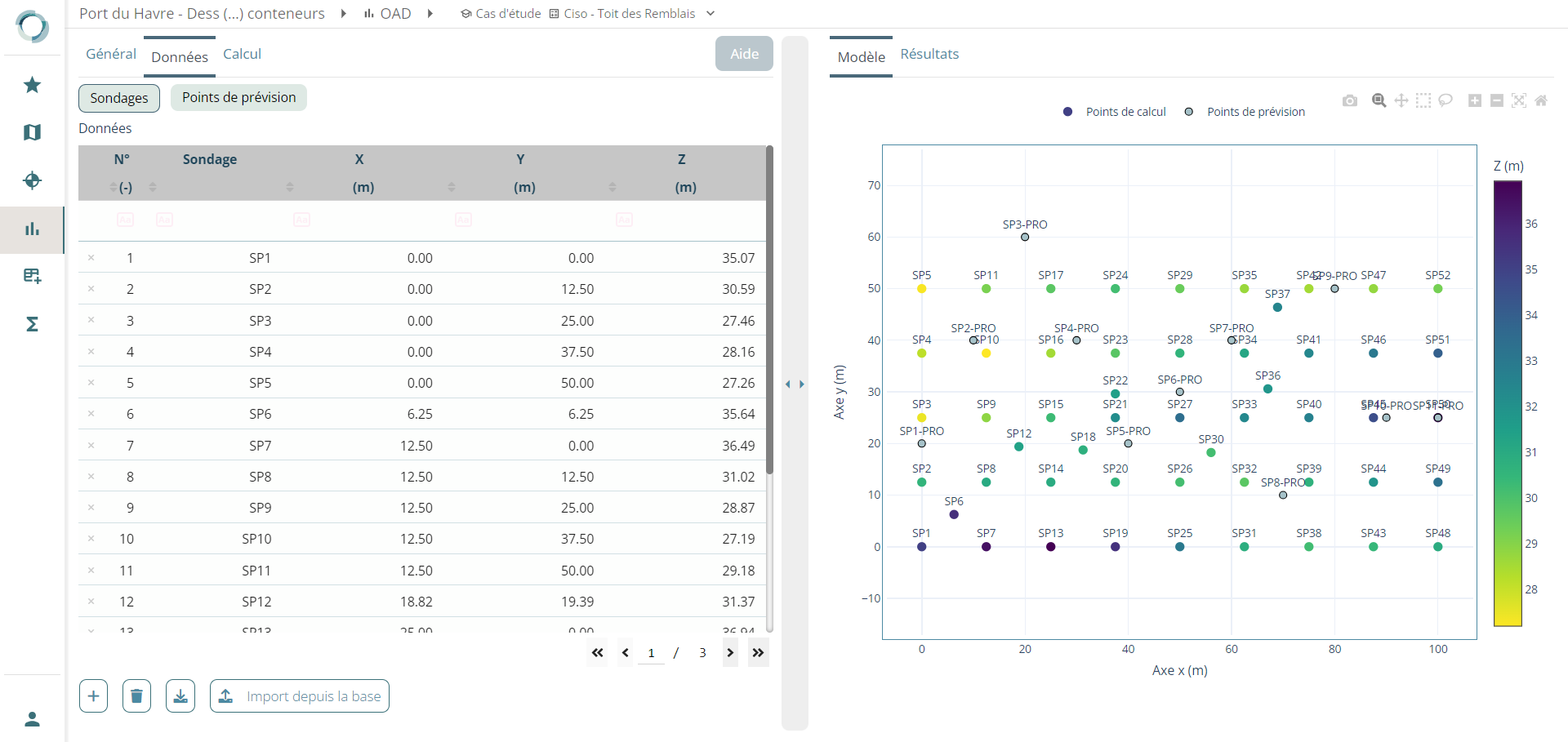
Kriging is a widely used estimation method in geostatistics. It involves generating an interpolated surface from a network of reference points scattered in space. By using these reference points, the kriging method is capable of predicting the spatial variation of a stratigraphy or a mechanical parameter.
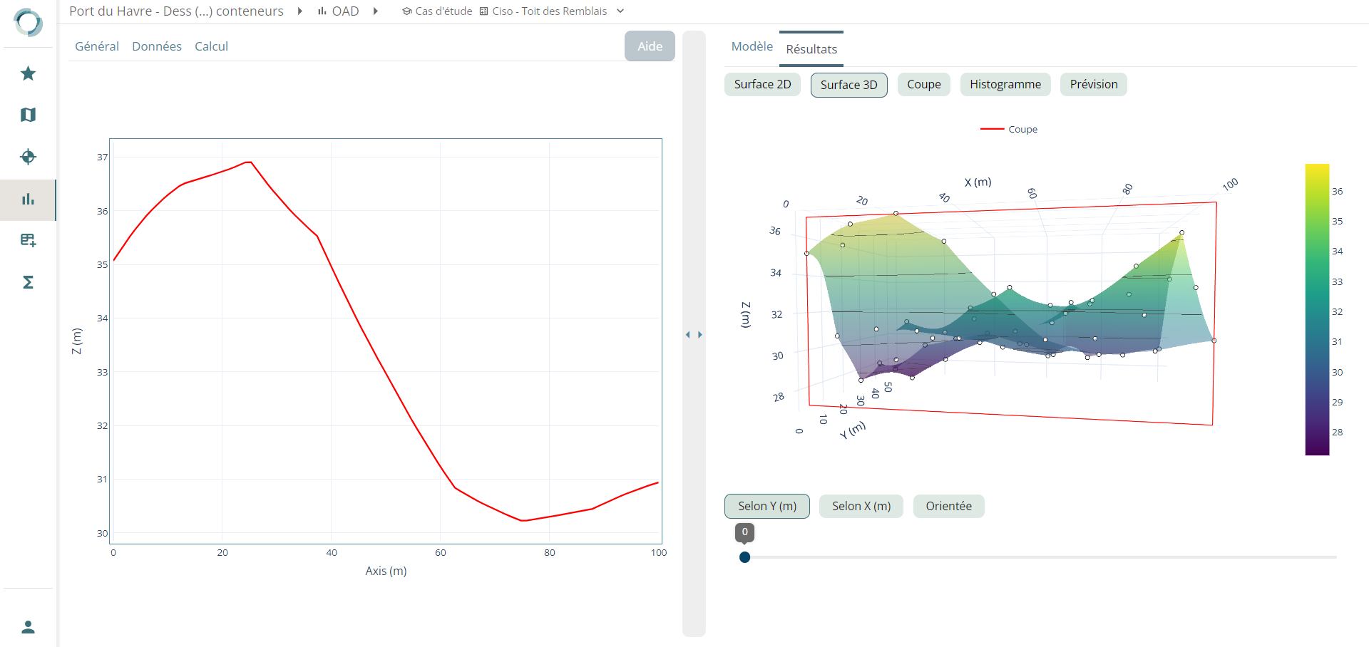
Once the calculation is performed, the CISO module provides you with various results. You can visualize the 2D and 3D mapping. Cross-sectional results are also available. Additionally, the CISO module provides forecast results for the calculation points you have selected.
Coming soon
The visualization of the standard error of the interpolation will soon be integrated into the tool.